
Geospatial Intelligence
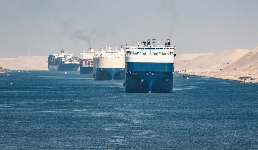
As operational environments grow increasingly complex, accurate geospatial intelligence is critical for uncovering hidden threats. Protect your maritime routes, secure your supply chains, or safeguard your infrastructure using advanced AI analytics that turn complex data into actionable insights that help you anticipate and counter threats before they impact your operations.
What is Geospatial Intelligence?
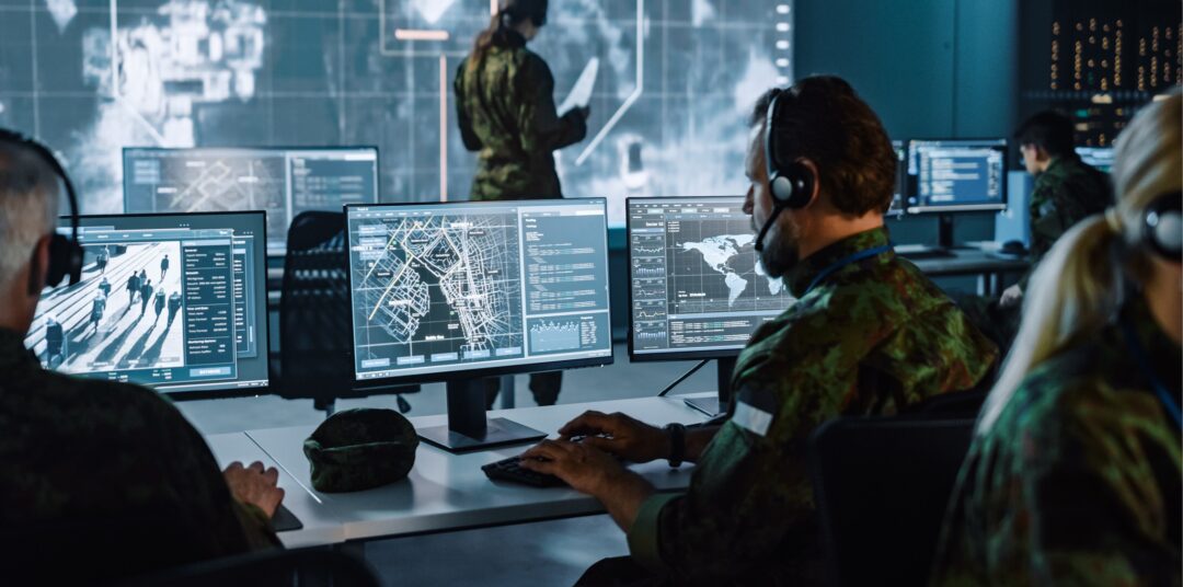
Geospatial intelligence (GEOINT) combines satellite imagery, aerial photography, mapping data, human geography, and other sources to create actionable intelligence. It increasingly incorporates AI and machine learning to process the vast amounts of imagery and data collected by reconnaissance platforms.
GEOINT can enhance situational awareness by providing a detailed understanding of the operational environment. It identifies and locates targets with precise geospatial data; aids mission planning by helping to select routes, access points, and identify hazards; and enables effective battle damage assessment by analysing environmental changes post-strike. Additionally, it supports force protection through monitoring terrain and detecting unusual activity.
Visualise your Threats with Geospatial Intelligence
Resources


Need Clarity, Pace or a Fresh Perspective?
If you’re facing a challenge that needs clarity, speed or a different kind of thinking – let’s talk. We’ll connect you with the right people to get things moving.